
Making the world a better place through space technologies.
In 2019, an oil leak occurred from a ship in Brazil that was not quickly detected. This ended up reaching 3000 km of the northeastern coast, an unprecedented impact on fauna and flora, not to mention that it cost R$188 million reais to carry out this cleanup. It took more than two years to completely clean up because there was no way to find the source of the leak.
In 2015, the collapse of the Fundão dam, in Mariana, released a gigantic wave of mining waste, devastating communities, causing the death of 19 people, polluting rivers and important ecosystems. Unfortunately, just a few years later, in 2019, a similar scenario was repeated in Brumadinho, when the Córrego do Feijão dam collapsed, resulting in an even more devastating tragedy, with more than 270 deaths and extensive areas affected by toxic mud.
Satellite monitoring could have played a crucial role in preventing and combating the Mariana and Brumadinho disasters. Using remote sensing technologies, satellites can provide real-time information about the health and stability of dams, allowing for early detection of problems and implementation of corrective measures before the situation becomes catastrophic.
It would also have been extremely important in preventing and combating the oil leak from the ship on the northeastern coast of Brazil. With the ability to capture images of large ocean expanses, satellites could have identified the oil spill in its early stages, enabling a faster and more efficient response. This would have allowed the competent authorities to be immediately activated to contain the spill and implement containment measures, minimizing damage to coastal ecosystems and marine life.
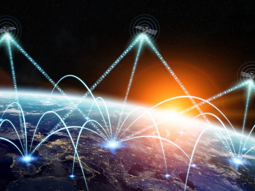
Imagine a world where environmental disasters like these and other devastating events could be prevented or mitigated before they cause irreparable damage. In our mission to make the world a better place, we propose an innovative and powerful approach: satellite monitoring to combat these environmental disasters. By utilizing remote sensing technologies, our satellites will provide real-time data on potential risks and changes to critical structures such as dams and ships, enabling a quick and effective response. Constant monitoring of these critical areas will allow for the early detection of problems, the prevention of accidents and the protection of communities and ecosystems.
Join us on this mission and let’s make satellite monitoring the key to a safer, more sustainable and environmentally conscious future for everyone. Together, we can make a difference and ensure a more resilient world for present and future generations.

Initiatives
Epic of Sun emerged from a spin off from a student entity called EPOS Projetos Aeroespaciais at USP (University of São Paulo). And we still do some work in partnership with EPOS.

R&D
We are currently building the Kara Constellation, made up of nanosatellites that use onboard AI to monitor the Earth more quickly through images from hyperspectral cameras.
Services
We provide a web platform with information for terrestrial monitoring for mining, agriculture, water resources, among others.

Z Ventures

PqTec
USP