How we are changing the world!
We provide a web platform with information for terrestrial monitoring that can be used in several areas. Ex: Quick information for monitoring disasters such as oil spills from ships, data for analyzing deforestation of forest areas, identifying the best areas to carry out mining, managing information for planning, among others.
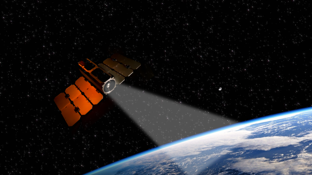
Data is collected through a constellation of satellites with hyperspectral cameras that generate +50 bands or that generate a greater amount of and more precise information, in addition to a daily revisit frequency that allows continuous monitoring.
Our satellites have onboard Artificial Intelligence, which allows for faster and more efficient transmission of data from space to Earth.
The images undergo pre-processing to make the necessary corrections, then pass through our Artificial Intelligence, which generates specific information for each application.